Examples of maps for your class to create or analyze
Classroom Maps
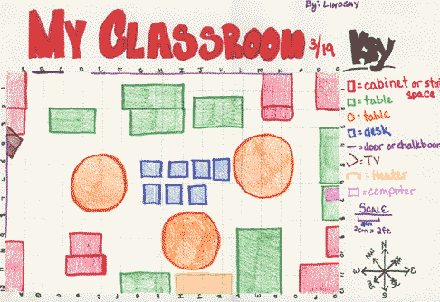
Before students map their schoolyard or surrounding community, sometimes it's good to start by making a map of a student's most familiar place—the classroom!
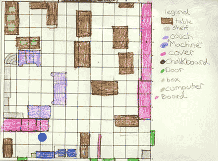
Dave Wirth and Nan Youngerman's classes created maps of their classroom by using a grid system placed on the classroom walls. Evenly spaced numbers run along the top of one wall, evenly spaced letters along the top of the other. Students can locate themselves or any other object in the classroom accurately using this system and create a map of their classroom!
Schoolyard Maps
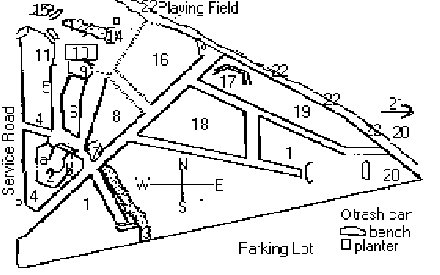
If a student is familiar with a map of his or her own classroom, the next logical step is to map the schoolyard. You can make maps of your schoolyard using a similar grid system, or by using GPS and GIS by marking points and boundaries over a basemap.
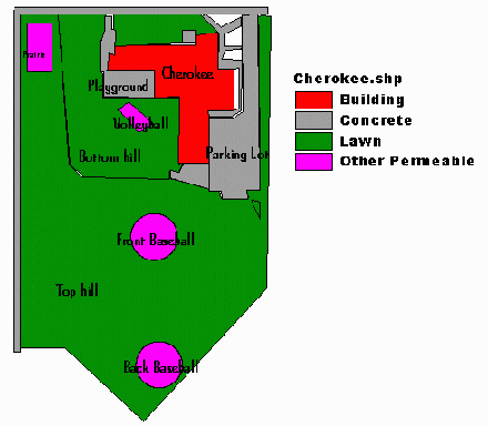
Students can examine what percentage of their school grounds are permeable. Why would they want to discover that fact?
School Research Site Maps
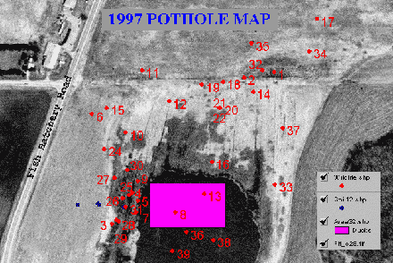
School Students from Jeff Maas and Dave Wirth's classes created this GIS map of wildlife sightings from observations taken during April and May of 1997. They plan to make similar maps each year to compare the levels of diversity.
Regional Maps
Historical Maps
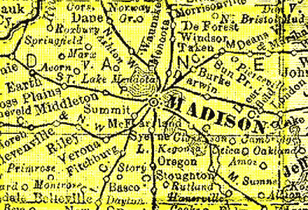
Taking a look at regional maps can aid in watershed study. The Wisconsin Maps and Geographic Information Systems Resources page gives a list of Wisconsin maps to study.
Present-Day Maps
Take a look at the Bing Maps website to make a customized map of the area around your school, home, or area of interest.